
Districts
Sri Lanka is divided into 25 districts, each governed by a District Secretary and further subdivided into Divisional Secretariats and Grama Niladhari Divisions. These districts are organized into nine provinces, reflecting the island’s rich cultural and geographical diversity.

Districts
Sri Lanka is divided into 25 districts, each governed by a District Secretary and further subdivided into Divisional Secretariats and Grama Niladhari Divisions. These districts are organized into nine provinces, reflecting the island’s rich cultural and geographical diversity.

Districts
Sri Lanka is divided into 25 districts, each governed by a District Secretary and further subdivided into Divisional Secretariats and Grama Niladhari Divisions. These districts are organized into nine provinces, reflecting the island’s rich cultural and geographical diversity.

Districts
Sri Lanka is divided into 25 districts, each governed by a District Secretary and further subdivided into Divisional Secretariats and Grama Niladhari Divisions. These districts are organized into nine provinces, reflecting the island’s rich cultural and geographical diversity.

Districts
Sri Lanka is divided into 25 districts, each governed by a District Secretary and further subdivided into Divisional Secretariats and Grama Niladhari Divisions. These districts are organized into nine provinces, reflecting the island’s rich cultural and geographical diversity.
Batticaloa District
Batticaloa is a major city in the Eastern Province, Sri Lanka, and its former capital. It is the administrative capital of the Batticaloa District. The city is the seat of the Eastern University of Sri Lanka and is a major commercial city. It is on the east coast, 111 kilometers (69 mi) south of Trincomaleeh, and is situated on an island. Pasikudah is popular tourist destinations situated 35 km northwest with beaches and flat year-round warm-water shallow-lagoons.
Batticaloa is a Portuguese derivation. The original name of the region being the Tamil "Matakkalappu". According to Mattakallappu Manmiyam the word Mattakkallpu consists Tamil words "Mattu" Matta-derived from "Mattam" means 'flat' and geographical name KaLappu. Mukkuwa named this place as KaLappu-Mattam or boundary of lagoon later it became Matta-Kallappu or Flat Lagoon. Also, Batticaloa has a nickname, "Land of the singing fish. due to musical sounds that related to fish or aquatic creature in the Batticaloa Lagoon near the Kallady Bridge. BBC Radio 4 was able to record the mysterious sound in Batticaloa Lagoon. The sound was broadcast by Sri Lanka Broadcasting Corporation in 1960s with the help of Rev. Fr. Lang, a Catholic priest.
Batticaloa is in the eastern coast of Sri Lankaon a flat coastal plain boarded by the Indian Ocean in the east occupies a central part of the eastern Sri Lanka. Its average elevation is around 5 meters. Batticaloa district has three lagoons such as Batticaloa Lagoon, Valaichchenai Lagoon, and Vakari (Panichchankerni) Lagoon. Among these lagoon, Batticaloa Lagoon is the largest lagoon and has 56 km long 162 square km area, extending from Pankudaweli in North and Kalmunai in South.
There are several islands within the Batticaloa Lagoon such as Puliayantheevu, Buffaloa Island and Bone Island. Many bridges are built across the lagoon connecting the landmasses and the islands. The Puliayantheevu is the metropolitan place of the city. The biggest bridge of all is Lady Manning bridge located at Kallady, which is the main access path to the city from the southern places of the district. Batticaloa beaches are sandy and located along 4 km shoreline in the city and further extend through the neighboring places. They include Kallady beach, Pasikudah, and Kalkudah. Pasikudah is a bay protected from the ocean, with a flat and sandy bed extending 150 to 200 meters from the shore.
Batticaloa has a tropical wet and dry climate under the Köppen climate classification, also generically referred to as 'dry-monsoonal climate'. Batticaloa's climate is temperate throughout the year. From March to May, the warmest time of the year, the maximum temperature averages around 32 degrees Celsius (88 degrees Fahrenheit). During the monsoon season from November to February heavy rains are recorded, with average temperature of 25 °C. Average annual rainfall in Batticaloa is 1,650.9 mm (65.00 in).
Districts of Sri Lanka
-
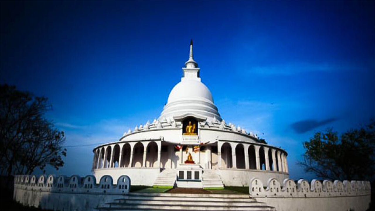 Ampara District
A district rich in agriculture, Ampara offers pristine beaches, historical Buddhist sites, and a diverse cultural landscape.
-
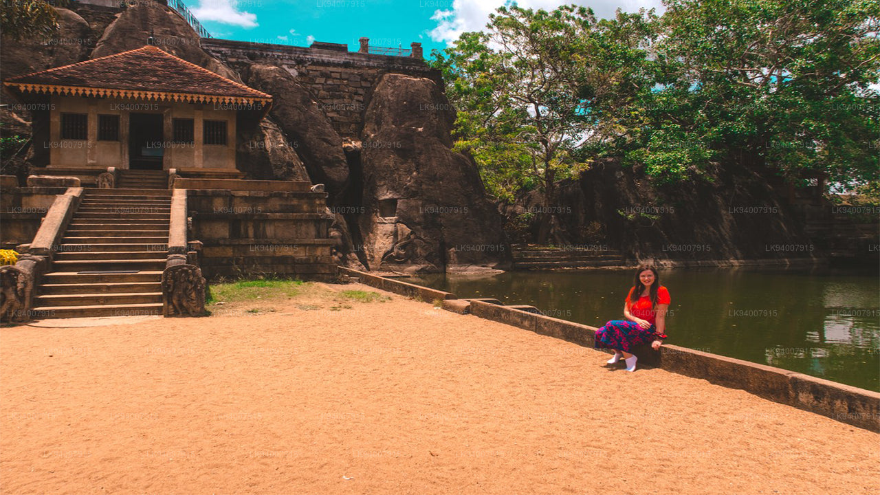 Anuradhapura District
One of the ancient capitals, Anuradhapura is a UNESCO World Heritage Site, rich with historic Buddhist monuments and temples.
-
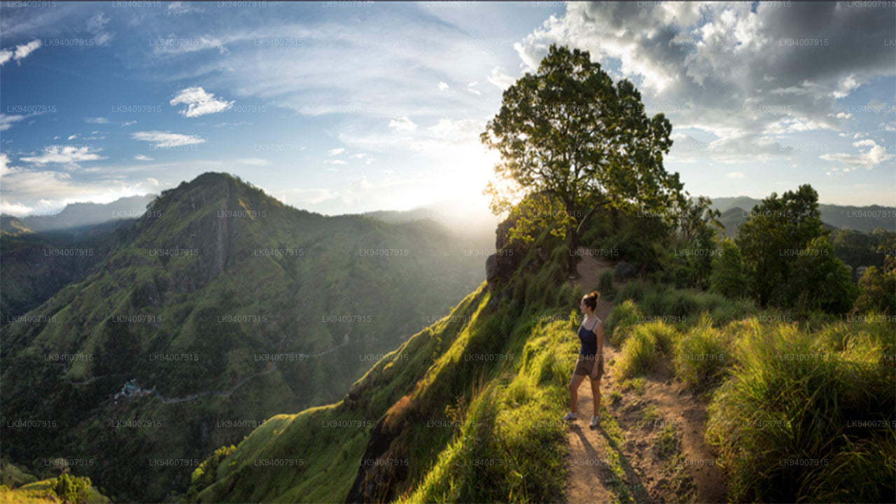 Badulla District
Badulla is a scenic district surrounded by mountains, tea plantations, and stunning waterfalls, offering a peaceful retreat.
-
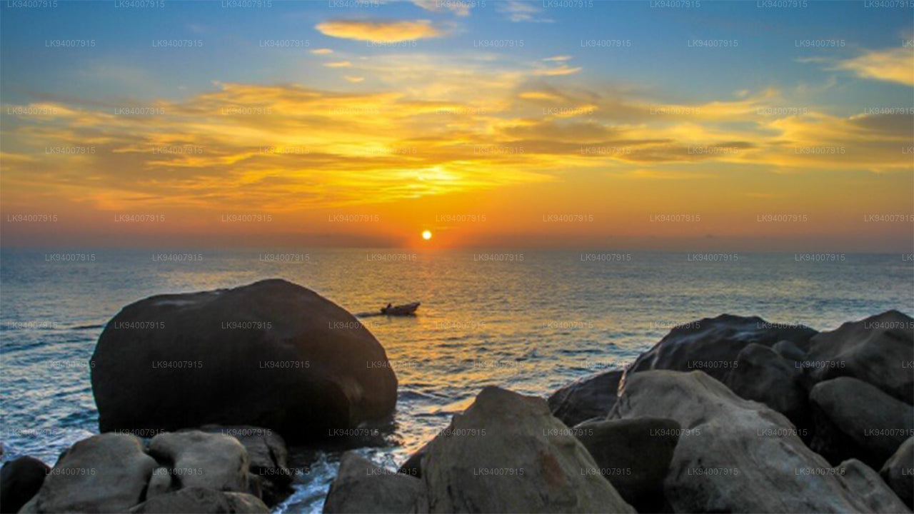 Batticaloa District
Known for its lagoons and beaches, Batticaloa is a serene district with a rich blend of Tamil and Muslim culture.
-
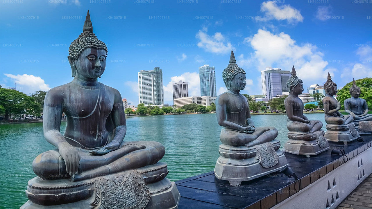 Colombo District
Sri Lanka’s bustling commercial capital, Colombo is a vibrant metropolis known for its urban landscape, colonial architecture, and coastal beauty.
-
 Galle District
A historic coastal district, Galle is famous for its UNESCO-listed Dutch Fort, pristine beaches, and rich colonial history.
-
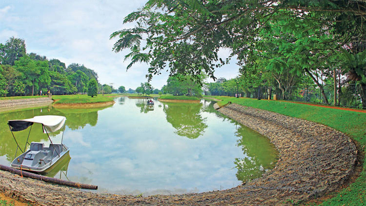 Gampaha District
A district blending urban and rural life, Gampaha is home to the Katunayake Airport and scenic beaches.
-
 Hambantota District
Known for its wildlife parks, including Yala and Bundala, Hambantota is a growing hub of development and eco-tourism.
-
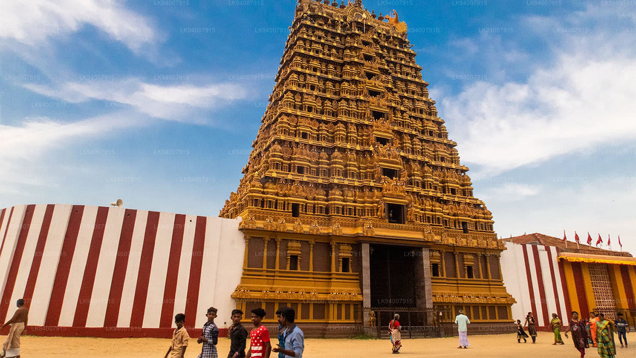 Jaffna District
The cultural center of Tamil heritage, Jaffna is known for its historic temples, vibrant culture, and rich history.
-
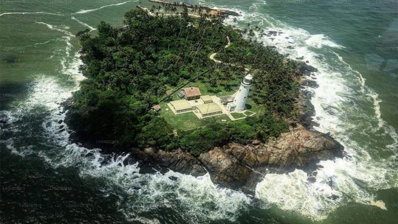 Kalutara District
Known for its historic Kalutara Bodhiya and beautiful beaches, Kalutara offers coastal charm and religious significance.
-
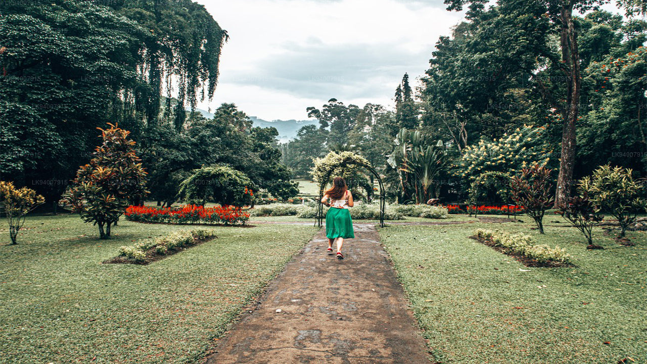 Kandy District
Famous for the Temple of the Tooth and its stunning lake, Kandy is the cultural heart of Sri Lanka and a UNESCO World Heritage Site.
-
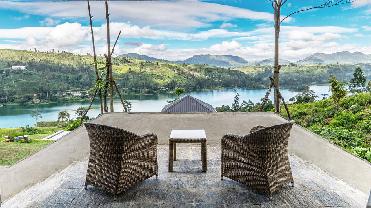 Kegalle District
Kegalle is known for its rubber plantations and the Pinnawala Elephant Orphanage, a popular tourist attraction.
-
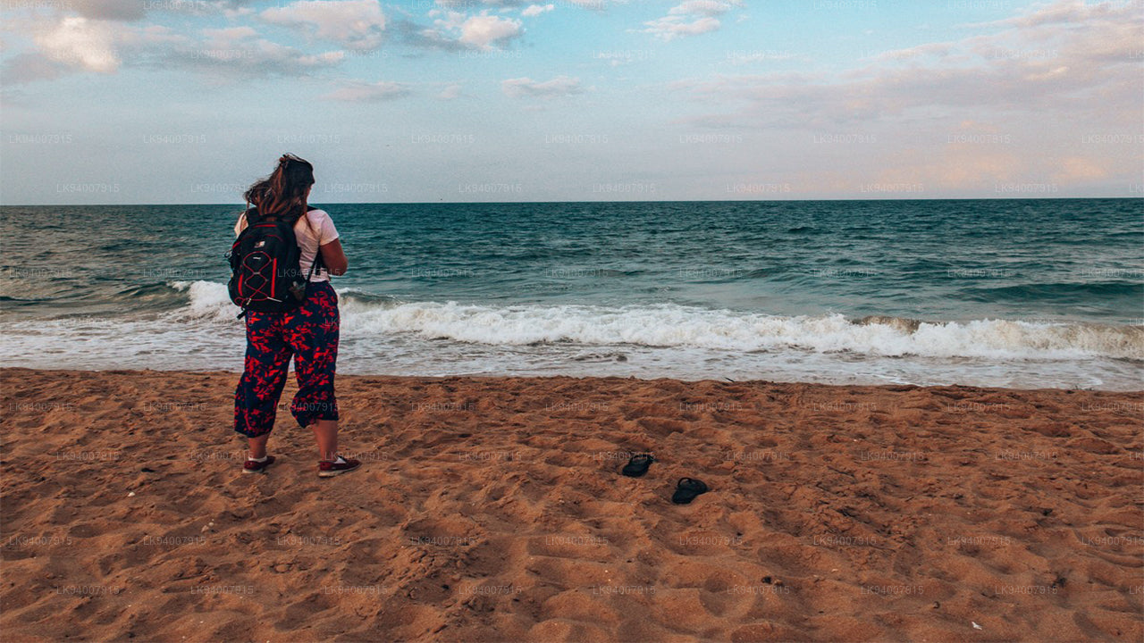 Kilinochchi District
A primarily agricultural district, Kilinochchi has seen rapid post-war development and is home to numerous water resources.
-
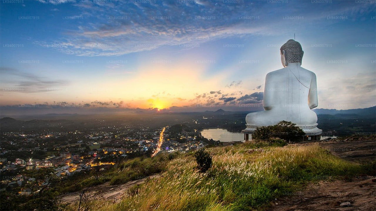 Kurunegala District
Famous for its elephant rock, Kurunegala is an agricultural hub surrounded by historic ruins and religious sites.
-
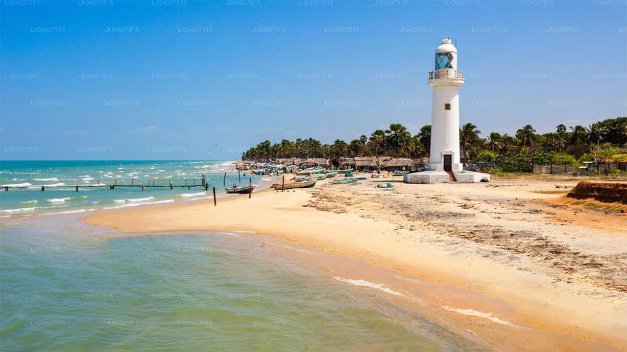 Mannar District
Famous for its unique landscapes, pearl fisheries, and the historic Mannar Fort, this district has a rich maritime history.
-
 Matale District
A district filled with spice plantations, waterfalls, and historic temples, Matale offers scenic natural beauty.
-
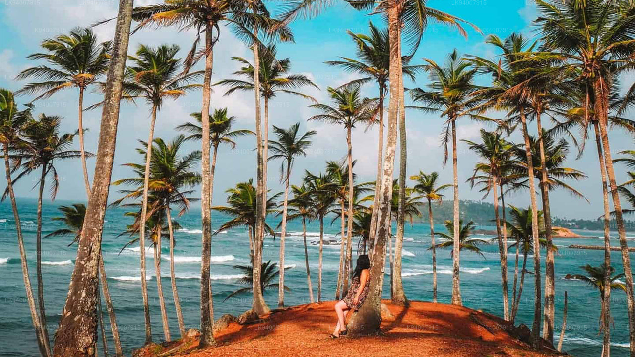 Matara District
Matara boasts stunning beaches, the Dondra Head lighthouse, and a mix of coastal and cultural attractions.
-
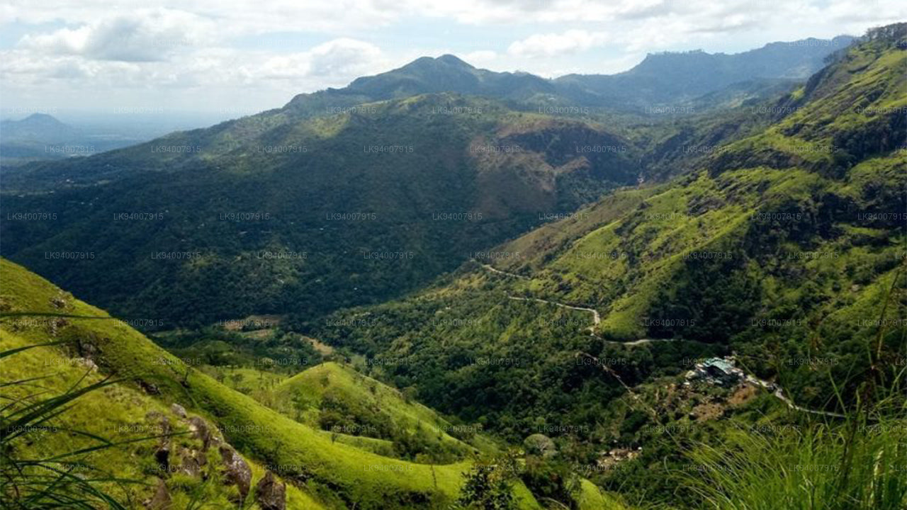 Monaragala District
Known for its rugged landscapes and rich biodiversity, Monaragala is an agricultural district with vast natural beauty.
-
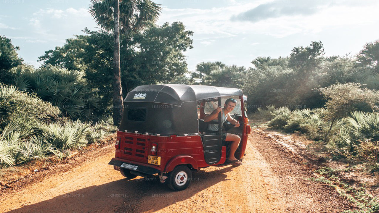 Mullaitivu District
A largely rural and coastal district, Mullaitivu is known for its beaches and significant history during the civil conflict.
-
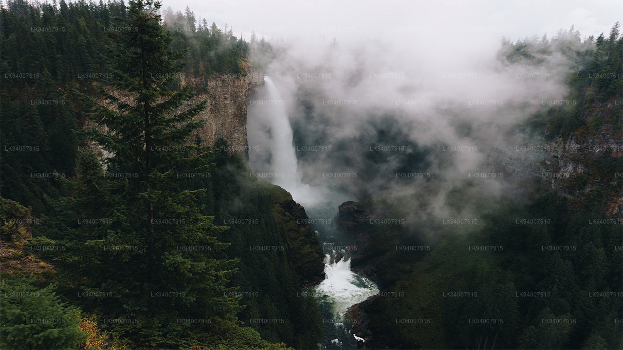 Nuwara Eliya District
Often called "Little England," Nuwara Eliya is renowned for its cool climate, tea plantations, and colonial architecture.
-
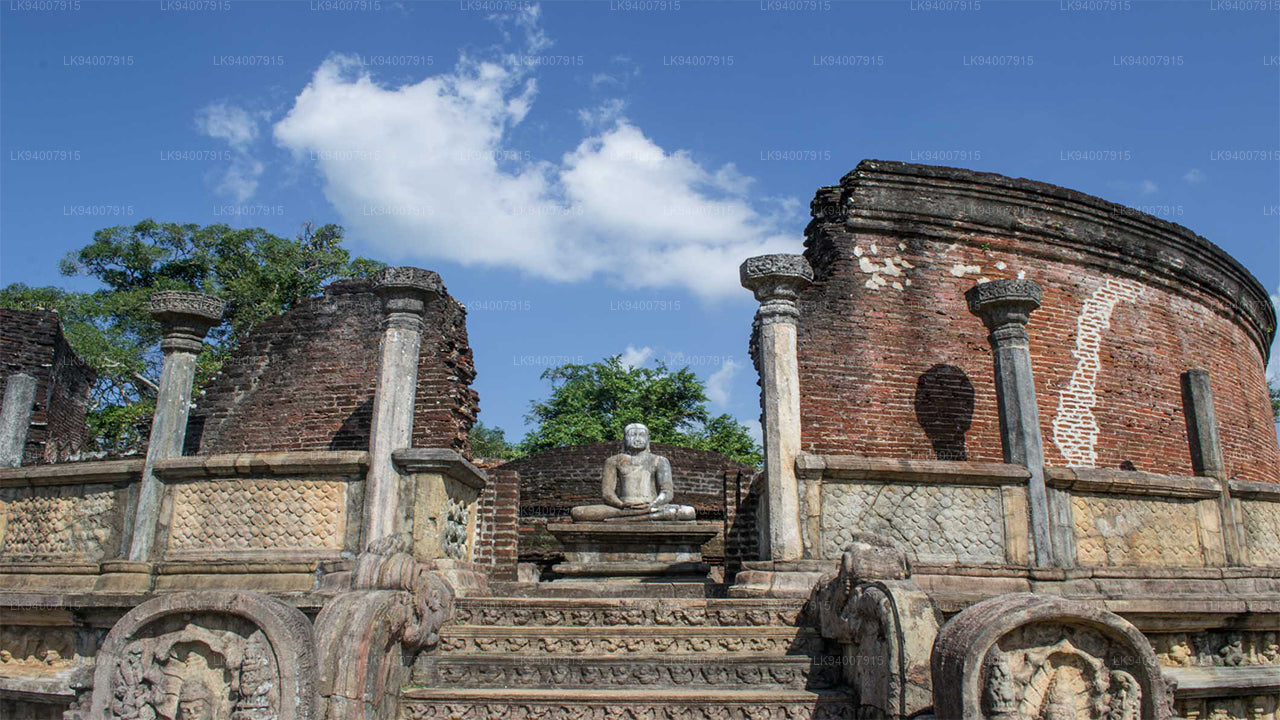 Polonnaruwa District
Polonnaruwa is a treasure trove of ancient ruins, including the famous Gal Vihara, and a key archaeological site.
-
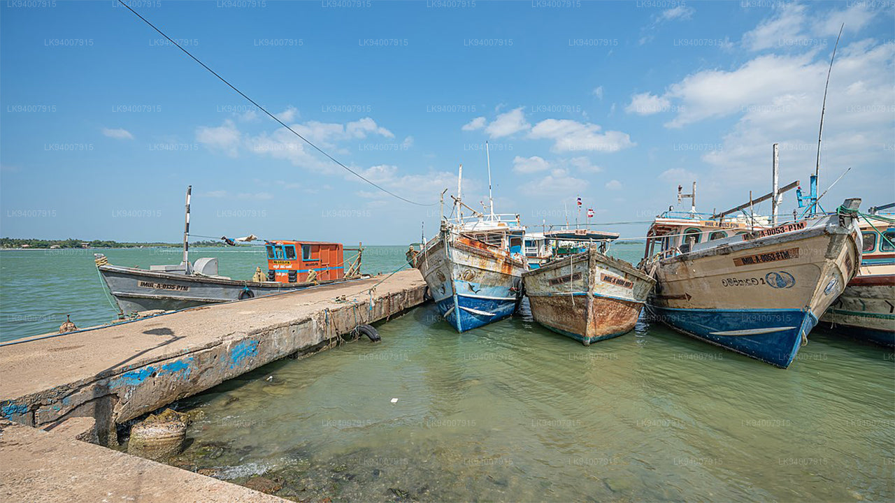 Puttalam District
Puttalam is known for its coastal lagoons, wildlife sanctuaries, and salt production, along with a growing wind energy sector.
-
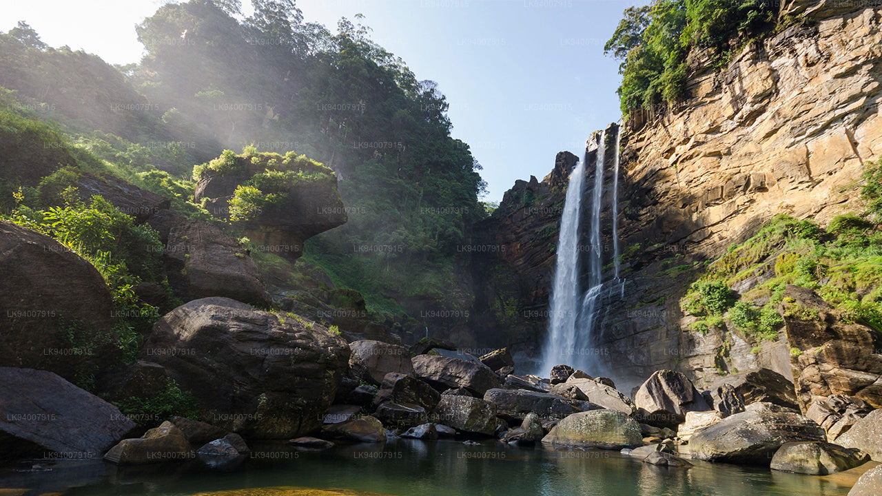 Ratnapura District
The "City of Gems," Ratnapura is famous for its gem mining and lush green landscapes filled with waterfalls and tea estates.
-
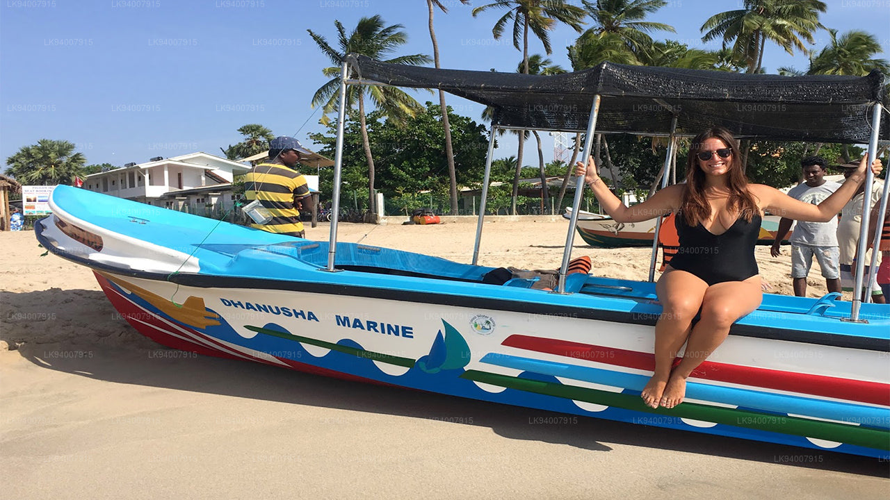 Trincomalee District
A coastal gem, Trincomalee is home to beautiful beaches, historic Hindu temples, and one of the world’s finest natural harbors.
-
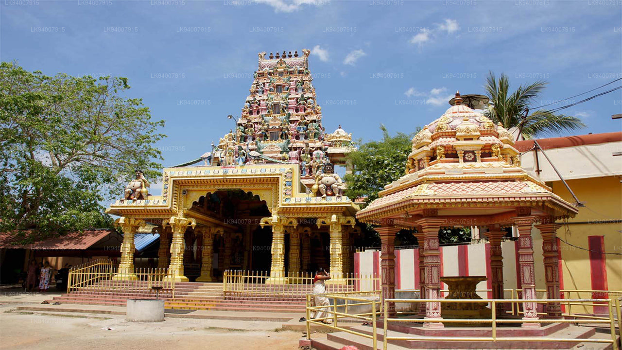 Vavuniya District
A key transit hub between the north and south, Vavuniya is known for its agriculture and growing urbanization.


